Article category: Company News
Descartes Labs Goes All-in on AWS to Help Organizations...
Descartes Labs migrates to AWS infrastructure to rapidly analyze geospatial data for timely...
Article category: Company News
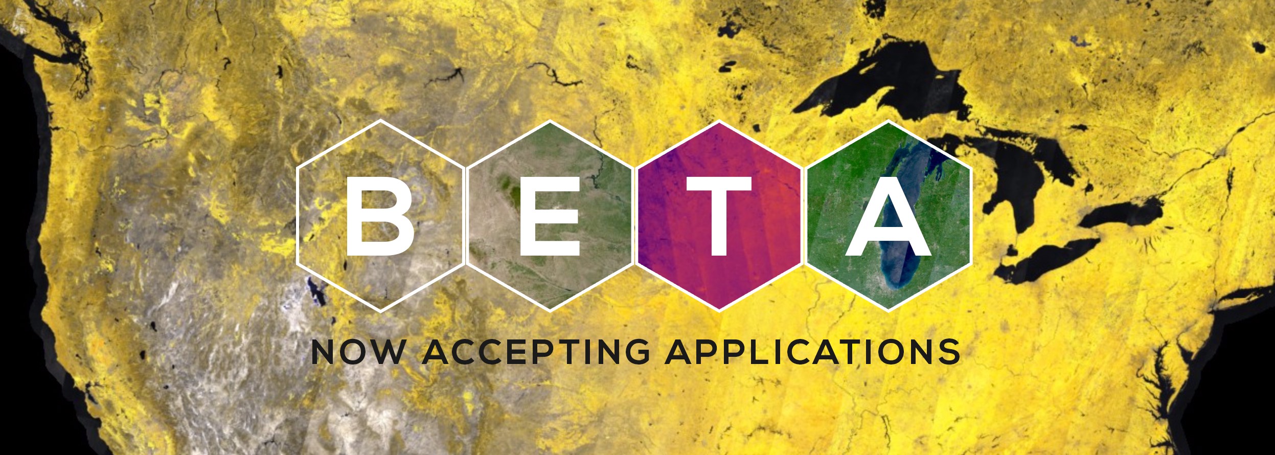
Starting today, Descartes Labs is accepting applications for Beta access to the most advanced Platform for extracting information from satellite imagery on a global scale.
We pride ourselves on enabling state-of-the-art remote sensing analysis through a scalable data infrastructure built from the ground up to remove the barriers usually associated with satellite data. Yet our Platform does not just serve up pixels, it has proven to deliver true insights. We have successfully used it to create optimized Earth composites, to teach computers to recognize objects on the ground across the globe, and to build agricultural yield prediction models that can be used to forecast food shortages and regional instability.
Though we’re proud of what we’ve built, we’re excited to see the innovations that companies, researchers, and curious hackers will come up with using our Platform.
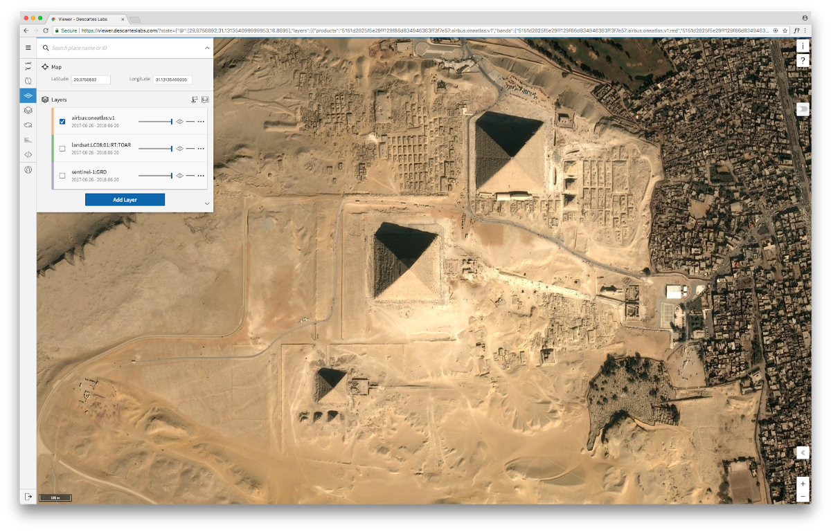
Once accepted into our Beta program, developers can access our 6 petabyte archive, which includes all publicly available imagery—MODIS, Landsat, and Sentinel 1/2/3. During the Beta, we will expose two basic functions from our Python API, Search and Raster. Search allows developers to find all the imagery available in our archive for a particular area of interest. Raster retrieves imagery, allows on-the-fly band calculations, and enables construction of deep time stacks for temporal analysis. If you have a project that you believe can benefit from the use of our Platform, please read more about the Beta and submit an application here.
We’re already working with several Beta customers and researchers. Los Alamos National Laboratory is where our Descartes Labs technology and founding team were incubated prior to spinning out into a private company. So it’s especially exciting to announce that they’re our first customer.
Though there are many potential uses within Los Alamos, one of the most interesting is in trying to better understand disease outbreaks. Nick Generous, a researcher at Los Alamos, and team plan to use satellite imagery from the Descartes Labs Platform to help health agencies deploy their resources most efficiently in combating mosquito-borne diseases. The team previously combined Internet data streams, such as Wikipedia, and mathematical models to monitor and predict diseases around the globe. The next step is to supplement their models with demographic and environmental data such as standing water, poverty, waste, and deforestation to identify factors contributing to mosquito diseases. And that’s where satellite data comes in. High-resolution imagery can be used to detect pools of water, for example, mapping where high numbers of pools intersect with those social media signals and clinical surveillance data. Bringing these disparate datasets together can help identify areas at risk of disease emergence and subsequently predict the potential path of the disease. This information can provide decision support to public agencies and decision makers about resource allocation and the implementation of mitigation strategies.
This is just the tip of the iceberg when it comes to solving problems with satellite imagery. Where in the world will your imagination take you? Think big. Let the Descartes Labs Platform expand what’s possible.
Article category: Company News
Descartes Labs migrates to AWS infrastructure to rapidly analyze geospatial data for timely...
Article category: Science & Technology
The basics of understanding raster data, vector data, and coordinate systems.
Article category: Science & Technology, Company News
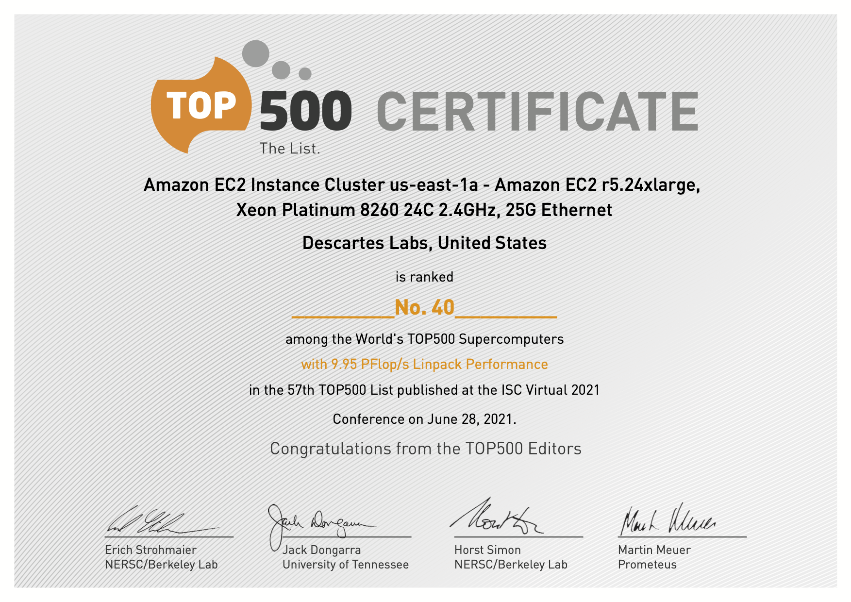
Descartes Labs Achieves #41in TOP500 with Cloud-based Supercomputing Demonstration Powered by AWS,...
Article category: Science & Technology, Company News
About 15 months ago, Descartes Labs entered beta to gather feedback from customers on our progress...