Article category: Science & Technology, Climate Solutions
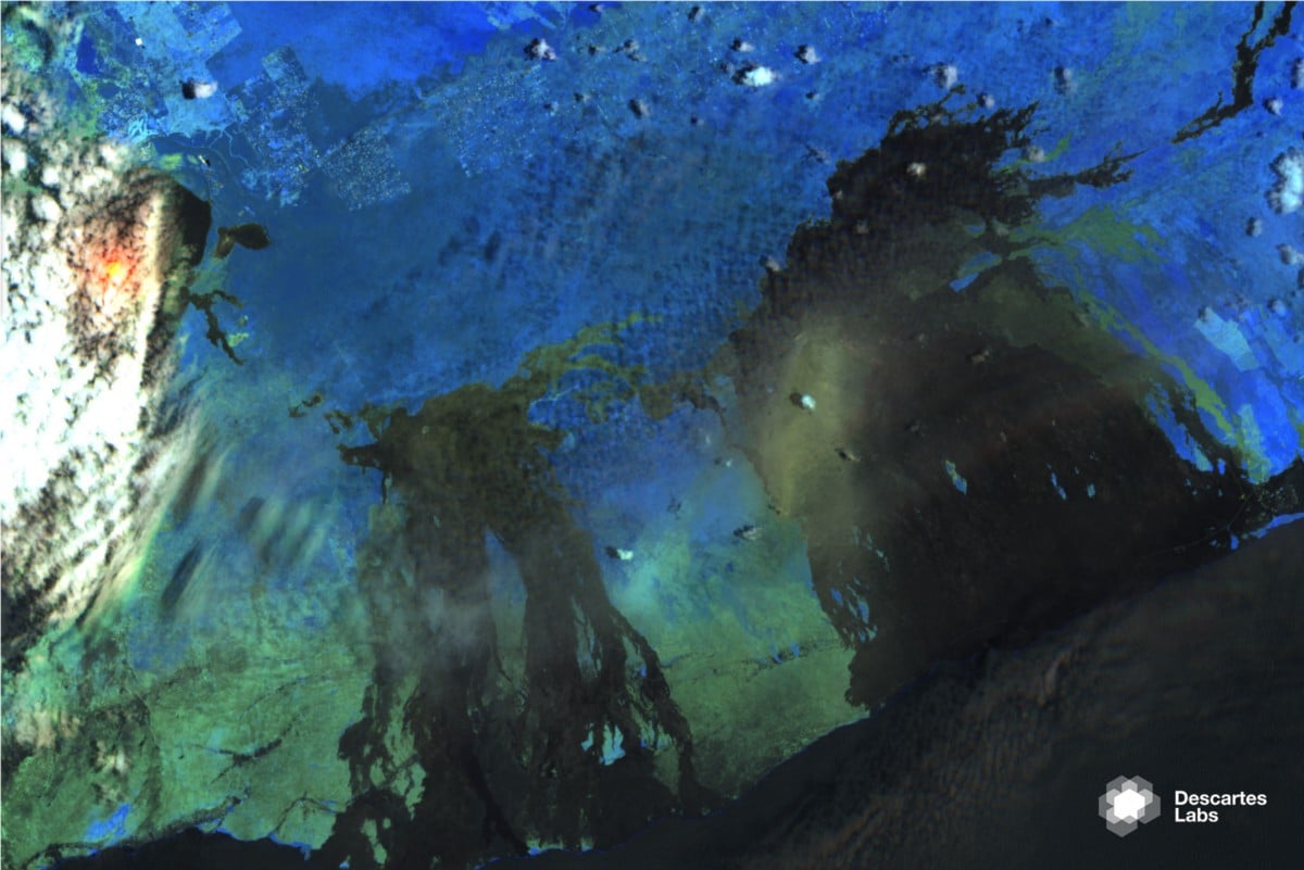
Measuring Volcanic Earth Displacement Using Interferometric...
Figure 1: An interferogram from a pair of collections made during descending passes. The fringes to...
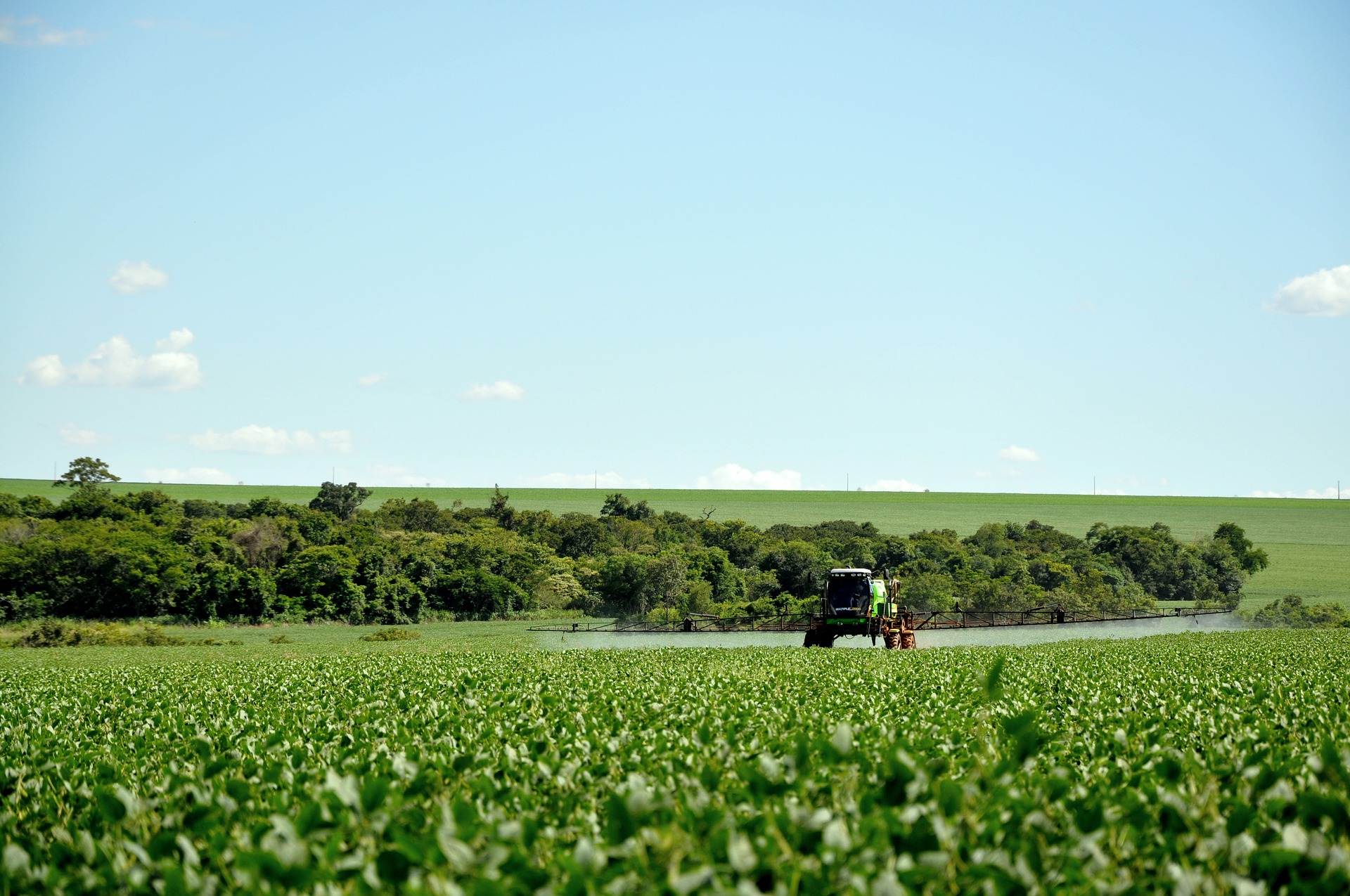
Despite the monumental challenges posed by climate change and the incredible promise of soil carbon sequestration, the world is still far away from the widespread adoption of regenerative farming practices. This isn't surprising given that current approaches are fraught with friction.
For farmers, registering into a carbon program can feel like trying to file taxes. For folks renting ground for the first time, the lack of historical data means they don't have an established baseline. For buyers, trust can be a major issue.
Thankfully, remote sensing has the potential to address these issues and create a data-driven experience that's frictionless to the farmer, trustworthy to the buyer, and economically scalable for all parties.
Remote sensing can lighten the administrative burden and information transfer load from farmers to purchasers. It provides transparency, insights, and ways to scale the information for carbon markets, practice management, and other ways to monetize on a larger scale.
The benefits of remote sensing include:
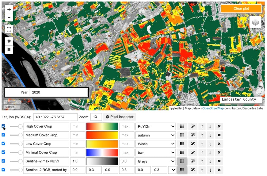
Descartes Labs infuses the ground truth data collected from farmers and suppliers with satellite data to calibrate global observations that can be used for your areas of interest. Paired with enough ground truth, our remote sensing datasets and machine learning models have the potential to scale outside the original area of study from local to regional.
In a recent webinar, Descartes Labs joined SAI Platform to share our perspective on regenerative practices through remote sensing and machine learning. Watch the full recording for in-depth insights but here are a few takeaways:
Watch the webinar in full for more insights, a demonstration of our geoprocessing platform in action along with interactive questions from the audience that could also be top of mind for you.