Article category: Mining, Science & Technology
Sentinel-1 Technical Series Part 2 | SAR Geocoding: Working...
In this post, we will describe Descartes Labs' SAR geocoding approach, which powers our global...
This is Part 3 of a technical series focusing on Descartes Labs’ global SAR processing capabilities. SAR provides a valuable remote sensing tool, and this series will dive into detail about how we process SAR data globally and build SAR and InSAR-derived products. Prior articles in this series can be found here: Overview, Part 1, and Part 2.
In Part 1 and Part 2 of this series, we described the fast data access and geocoding mechanisms for Sentinel-1 SAR data that we have built at Descartes Labs. These mechanisms are part of pipelines that provide rapid global scale radar backscatter and InSAR analytics on our platform. In this part of the series, we will describe the salient features of our global InSAR pipeline. Our global InSAR dataset is designed to be readily usable in coherent change detection and deformation monitoring analytics pipelines.
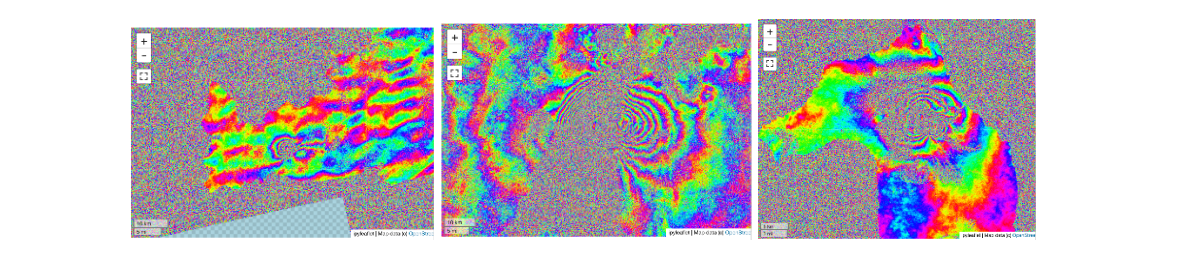
In Part 2 of this series, we described our approach to generating geocoded SLCs on a fixed 10m Northing x 2.5m Easting grid. Our processing pipeline ensures that the same projection system is consistently used for all bursts corresponding to a given footprint. Interferogram generation is as simple as cross-multiplication of geocoded SLCs and smoothing with a spatial kernel where z1 and z2 represent complex valued observations from two different aligned geocoded SLCs and K[.] represents a spatial convolution with a given kernel.

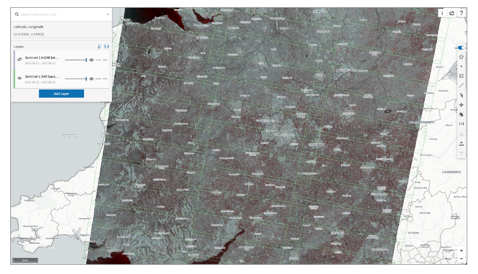
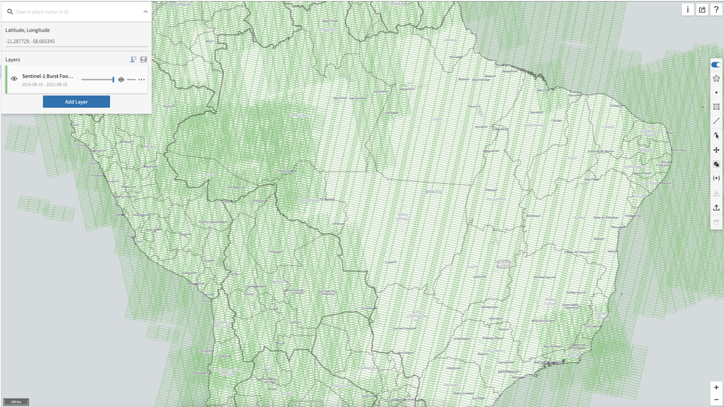
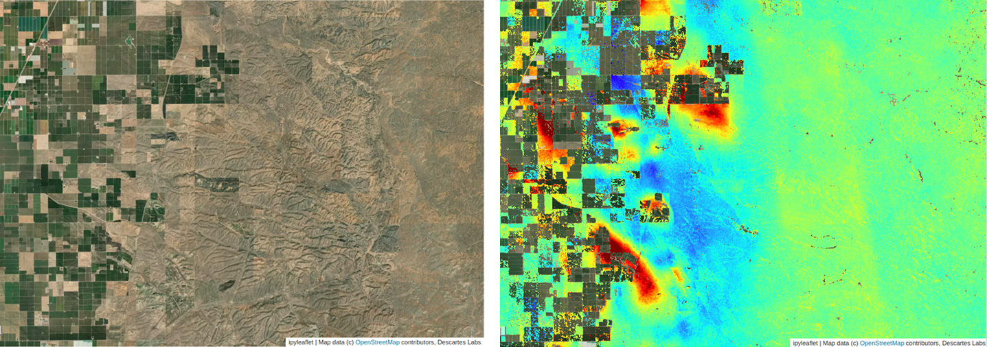
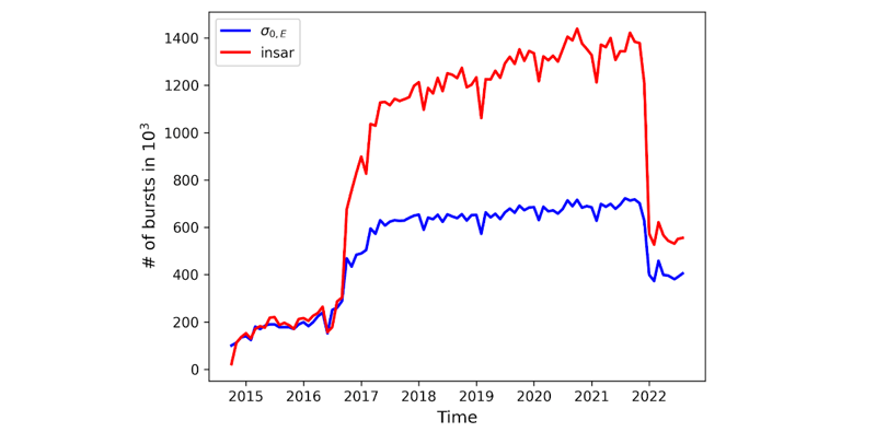
The ease with which we can compute interferograms relies on the fact that our geocoding mechanism removes the propagation phase. In our production pipeline, we use a Gaussian kernel that accounts for the difference in sampling in Easting and Northing and has a resolution of ~50m. The data is subsampled to a standard grid of 20m and stored as images with two bands - coherence (𝝆) and wrapped phase(𝚫𝝓). We generate all burst interferograms for VV polarization (for most land masses except Antarctica and Greenland) with a temporal baseline less than or equal to 24 days (See Figure 1 below).
Note that, because InSAR products and backscatter are generated consistently, we can use the backscatter to reconstruct the original complex interferogram.
There are a number of pipeline design aspects that ensures that the interferometric products generated are of high quality:
The quality of interferometric phase and coherence observations directly depends on the quality of relative coregistration of the geocoded burst SLCs. As mentioned in Part 2, Sentinel-1 mission has the following characteristics that help us in this regard:
With these data characteristics, we are able to rely on a purely geometric approach, akin to GMTSAR, to generate global scale interferometric products very efficiently.
We would like to note that our current pipeline is the third iteration of a global scale InSAR product. The very first version was based on ESA’s SNAP software and our second iteration, which we presented about in the AGU Fall meeting of 2019, was based on GMTSAR. Both these approaches presented limitations which led us to build our current pipeline. The main issues we encountered were:
We used products from our GMTSAR-based iteration to verify the geometric processing of our current implementation which focuses on making single burst-based processing efficient and scalable.
Parts 4 and 5 of this technical series will describe some of the capabilities built on top of our global InSAR product in detail. However, it is useful to summarize some of our observations from working with the global InSAR related to phase unwrapping. In summary, effective phase unwrapping is often AOI and application dependent. In detail:
Hence, conventional 2D phase unwrapping is better approached as a post-processing operation where users determine the amount of additional spatial averaging or filtering and mosaicking extent first.
In this blog post, we described the salient features of our global InSAR product. This global product is ready to use for coherent change detection and quicklook deformation estimation applications.
"Contact our team to discuss how we can integrate our global InSAR product into your processes.
Check out the next post in this series, "Sentinel-1 global velocity layer: Using global InSAR at scale".

Reference:
Agram PS, Warren MS, Calef MT, Arko SA. An Efficient Global Scale Sentinel-1 Radar Backscatter and Interferometric Processing System. Remote Sensing. 2022; 14(15):3524. "https://doi.org/10.3390/rs14153524