Article category: Consumer Goods
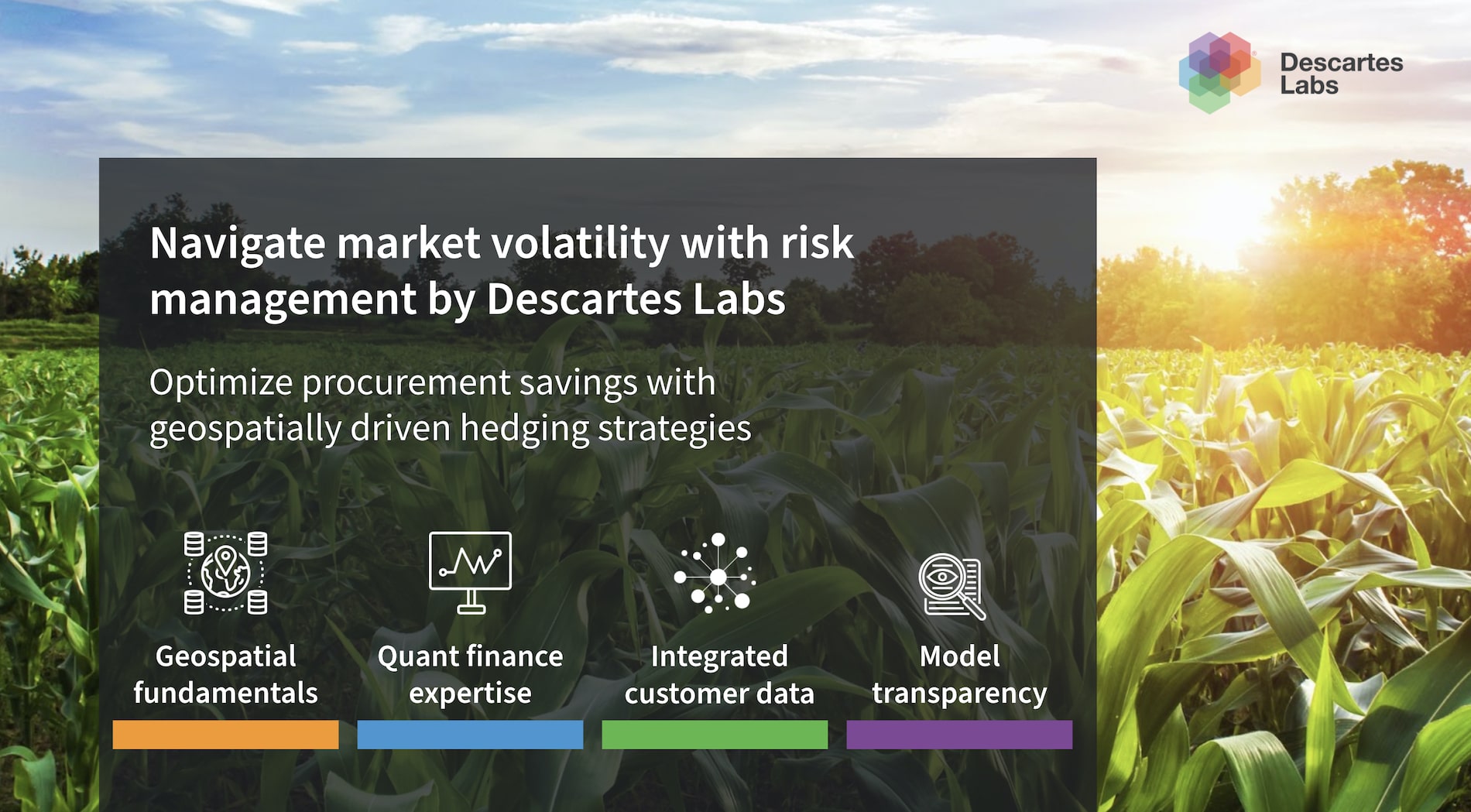
Announcing Packaged Analytics for Four New Commodities
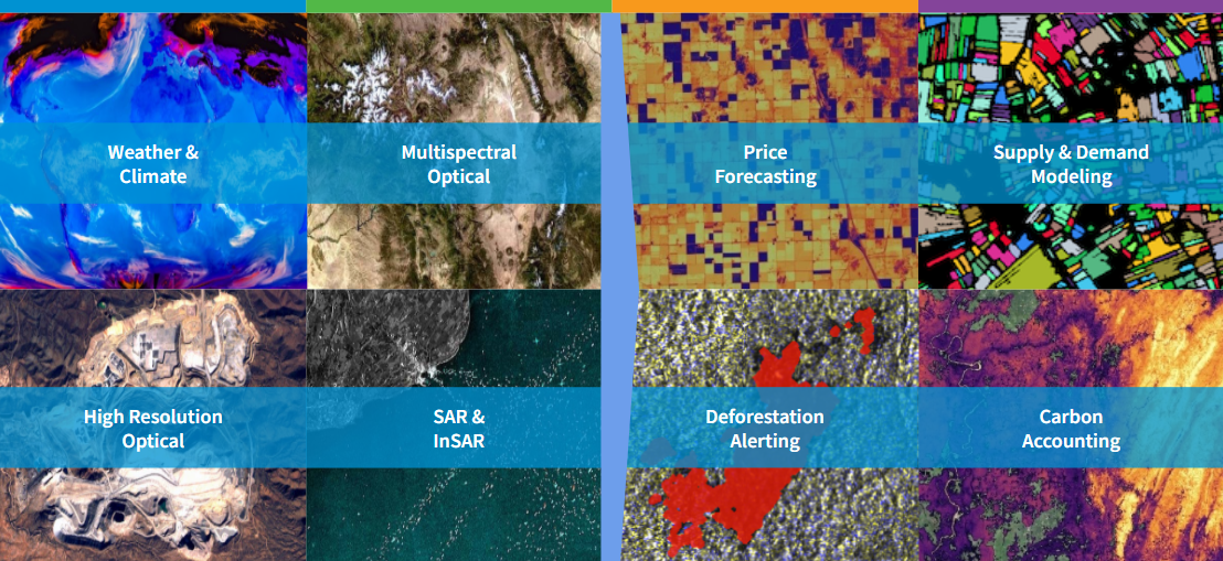
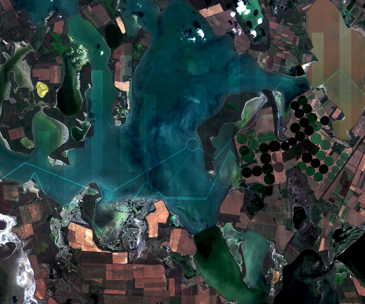
Actionable price forecasts, market insights, and purchasing recommendations for London Cocoa,...
Article category: Consumer Goods
Actionable price forecasts, market insights, and purchasing recommendations for London Cocoa,...
Article category: Science & Technology
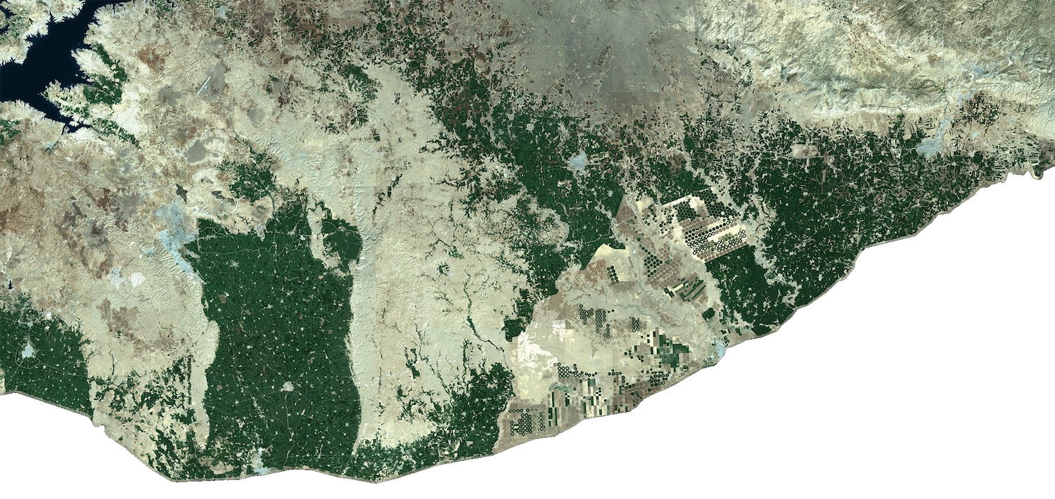
The basics of understanding raster data, vector data, and coordinate systems.
Article category: Consumer Goods, Company News
We’re excited to announce a new partnership with Aspia Space to power its ClearSky product offering...
Article category: Science & Technology
In this article, we get back to the basics, to the fundamentals of remote sensing.
Article category: Science & Technology
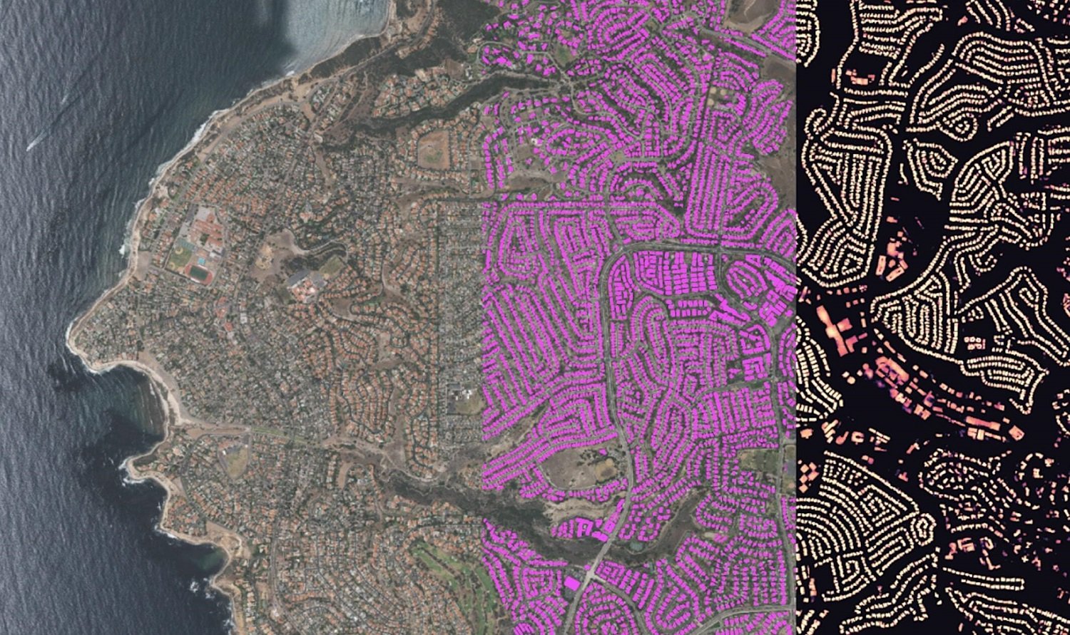
In this blog, we will show how you can go from zero data to thousands of annotated satellite images...

Article category: Science & Technology
We’re excited to announce a new partnership with Satellogic that brings sub-meter, high-frequency...
Article category: Consumer Goods, Climate Solutions
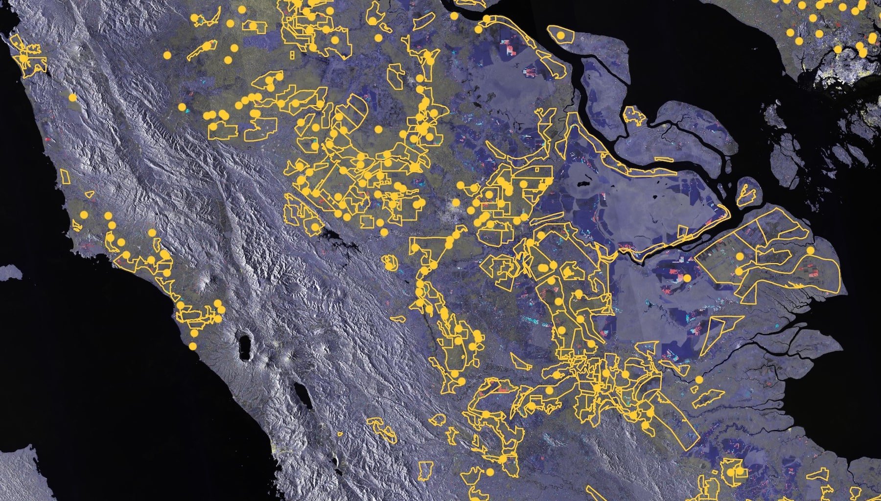
Presented during the AllianceBernstein ESG Conference on Biodiversity: Geospatial data can be a...
Article category: Consumer Goods, Climate Solutions
Discover how businesses with compliance rules and socially-conscious consumers & employees can...
Article category: Consumer Goods, Climate Solutions
Learn how we leverage key datasets from the Descartes Labs Platform to attribute risk from...
Article category: Climate Solutions
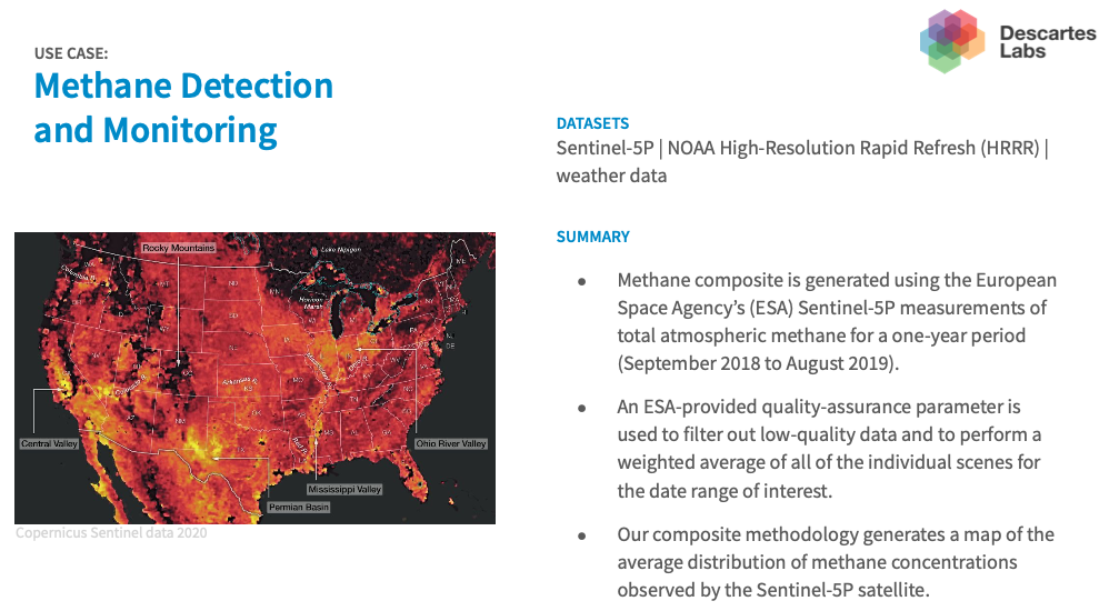
Descartes Labs discusses how its geospatial analytics platform creates data around sustainability...
Article category: Consumer Goods, Climate Solutions
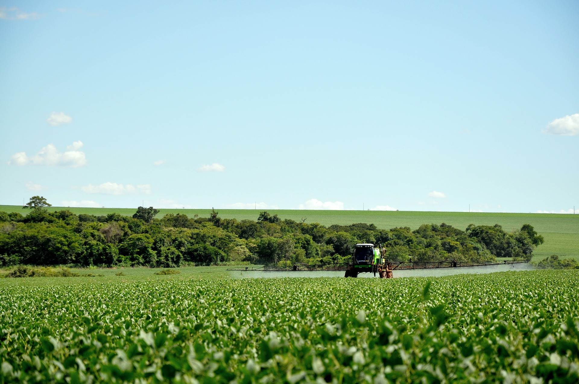
Scaling regenerative agriculture is possible with remote sensing through a data-driven experience...
Article category: Science & Technology, Company News
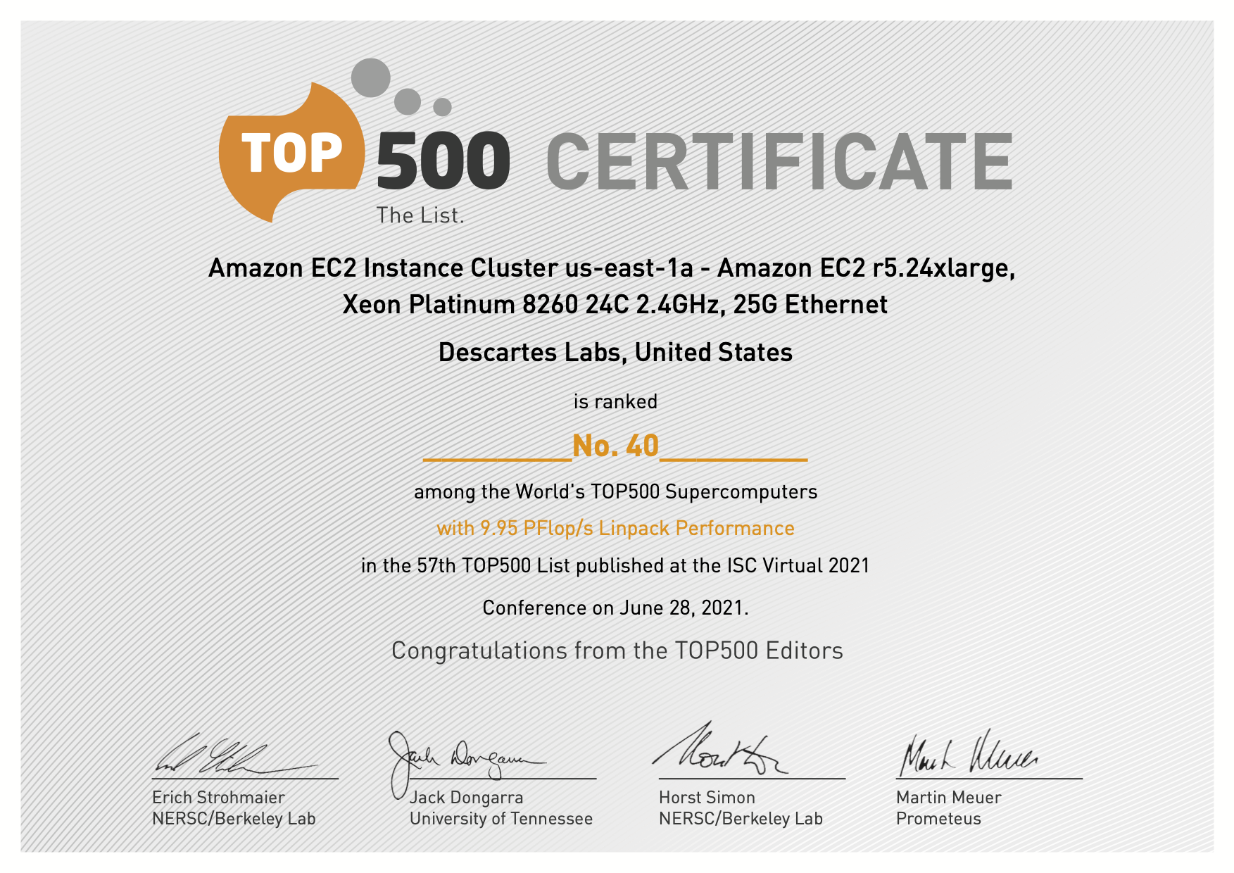
Descartes Labs Achieves #41in TOP500 with Cloud-based Supercomputing Demonstration Powered by AWS,...