Article category: Mining, Science & Technology
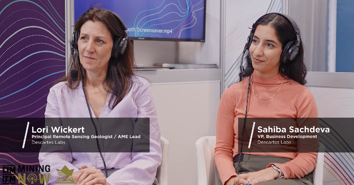
Advancements in Mineral Exploration: Remote Sensing and the...
Watch video for an engaging discussion around the advancements in remote sensing, specifically,...
Article category: Mining, Science & Technology
Watch video for an engaging discussion around the advancements in remote sensing, specifically,...

Article category: Consumer Goods, Science & Technology
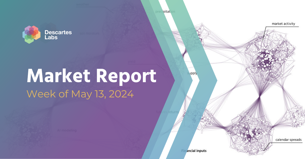
Using advanced #geospatial intelligence, we bring you the #commodities market overview with...
Article category: Mining, Science & Technology
Impact on Mineral Mapping Accuracy with Increased Spatial Resolution: A Case Study of EnMap versus...
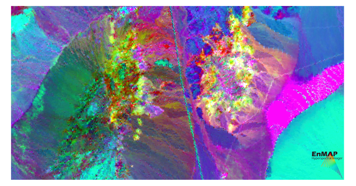
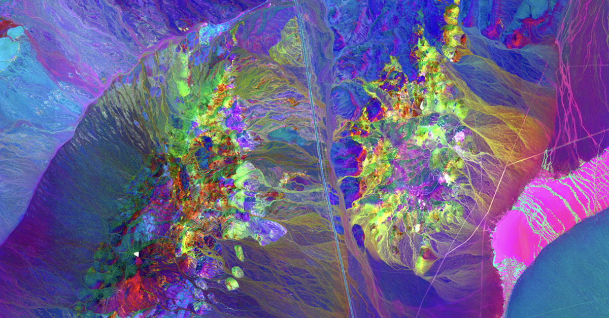
Article category: Mining, Science & Technology
A case study over Cuprite, Nevada comparing Fused Bare Earth Composite and EnMAP Data
Article category: Consumer Goods, Science & Technology
Using advanced #geospatial intelligence, we bring you the #commodities market overview with...
Article category: Science & Technology, Company News
Descartes Labs Government selected EarthDaily Analytics as a supplier for their Earth observation...
Article category: Mining, Company News
Descartes Labs Wins Three of the 2024 Mining Technology Excellence Awards in the Innovation,...
Article category: Consumer Goods, Science & Technology
Using advanced #geospatial intelligence, we bring you the #commodities market overview with...
Article category: Consumer Goods, Science & Technology
Using advanced #geospatial intelligence, we bring you the #commodities market overview with...
Article category: Consumer Goods, Science & Technology
Using advanced #geospatial intelligence, we bring you the #commodities market overview with...
Article category: Company News
Descartes Labs acquires all of the operating assets of Geosite, a SaaS provider of geospatial...
Article category: Consumer Goods, Science & Technology
Using advanced #geospatial intelligence, we bring you the #commodities market overview with...